


15 km | 21 km-effort


Utilisateur


Application GPS de randonnée GRATUITE
 SityTrail
IGN / Instituts géographiques
SityTrail World
Le monde est à vous
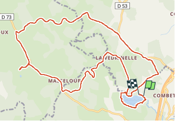
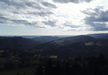
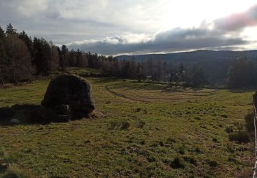
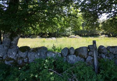
Randonnée Marche de 16,9 km à découvrir à Occitanie, Lozère, Le Buisson. Cette randonnée est proposée par Alain28/01.
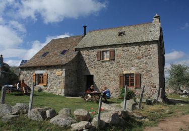
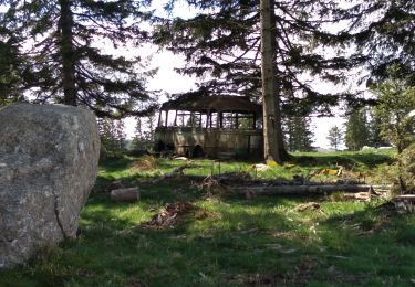
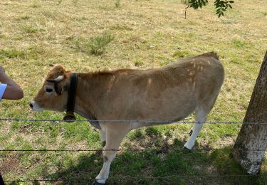
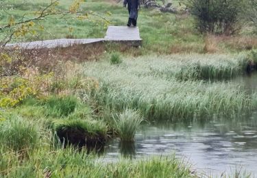
Même sous la pluie,la région est magnifique.
Marche
Marche
Marche
Marche
Marche
Marche
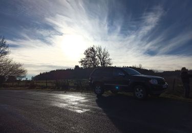
4x4
Marche

Marche